Lucas Rivero Iribarne
GIS Data Analyst
Hi!
I studied agricultural engineering motivated by learning how plant species work and how they are affected by climate change. Since then, I have been involved in many projects related to both agricultural and natural systems, first doing my bachelor thesis using remote sensing tools and water flow modelling to compute crop coefficients in Avocado plantations. Then as a research assistant in projects related to watershed hydrology, monitoring ecosystems that are being modulated both by climate change impacts and human impacts.
Currently, I am doing a master’s in geo-information science to go further into both physical and statistical modelling of agro and ecosystems to develop data-driven solutions to confront incoming global change impacts using geographic information systems, remote sensing, scripting, in situ sensors, data science and Big Data techniques. So, if you have any job offer in that way do not hesitate to contact me :)
- Geo Data Science
- Ecology
- Hydrology
-
MSc in Geo-information science (student), 2022
Wageningen University and Research
-
BSc in Agricultural engineering, 2020
Universidad de Chile
Skills
Data management, time series and spatial modelling
Supervised and unsupervised classification, biophysical products
QGIS, ArcGIS, GRASS GIS
Google earth engine, RShiny
Calibration and installation of sensors (rain gauges, soil moisture, sap flow) and surveying (biomass, soil samples, tree core samples)
Spanish (Native) - English (B2)
Experience
FONDECYT 1212071 - The catchment memory: understanding how hydrological extremes are modulated by antecedent soil moisture conditions in a warmer climate.
- Developing a methodology to assimilate leaf area index data retrieved from remote sensing into Soil Water Assesment Tool model (SWAT+)
- Writting rutines to download Sentinel 2 data and compute biophysical variables using ESA-SNAP algorithms using R
- Writting R scripts to download remote sensing products at country scale (Evapotranspiration, soil moisture, biophysical variables)
PCI CONICYT NSFC190018 - Improving forest water yield and productivity quantification at the catchment scale by mapping root depth and eco-physiological thresholds with remote sensing and water transfer modeling.
- Plan, coordinate and lead field campaigns to install rain gauges into four Chilean watersheds
- Sensor calibration (rain gauges)
- Writting R scripts to plot spatial and temporal data gathered from sensors
FONDECYT 1171560 - Assessing spatio-temporal impacts of global change on water and biomass production processes at catchment scale: a synergistic approach based on remote sensing and coupled hydrological models to improve sustainable management of forest ecosystems.
- Field campaigns to measure ecosystems characteristics (soil samples, tree cores, leaf area index, biomass)
- GIS and time series analysis
- Calibration and installation of scientific instrumental (rain gauges and soil moisture probes)
Courses
Portfolio

RUSLE model before and after fire using open data and software. A case study after 2017 “Las Maquinas fire” in central Chile
RUSLE model implementation using remote sensing data in a pine plantation dominated watershed before and post fire.

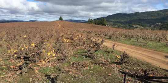
Comparing dry and wet years evapotranspiration in a rainfed vineyard in central Chile
Exploratory analysis about how the accumulated precipitation affects the evapotranspiration in a mediterranean vineyard agrosystem.
Publications
Contact
- lucas.riveroiribarne@wur.nl
- Monday to Friday 09:00 to 18:00